
TOPOGRAPHICAL SURVEYS
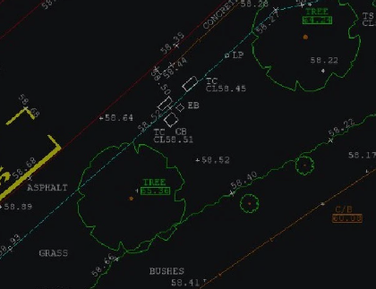
Topographical land surveys are a requirement during the initial phase of any project or development. Constructed from measured elevation points on a particular piece of land, presented as contour lines on a plot. A land survey details the natural and built environment and will impact on the development and progress of the project. It is therefore essential that they are carried out with a high level of accuracy and efficiency. Our well-trained team of land surveyors offer these qualifications, along with a professional, affordable and personal service that strives to meet with the specific requests of our clients.
Surveying is done by an on-site surveyor using equipment that is among the most accurate in the market; to within +/- 3mm, so you can feel confident that we can deliver to your specifications. Surveys are tied into national grid co-ordinates in X, Y and Z at no extra cost to you. In addition our office staff utilise highly technical data transfer and imaging software to produce technical drawings. Your survey will be presented in detailed 2D or 3D drawings, on a variety of media, through the postal system or by email.
Topographical Land Surveys are carried out using calibrated Leica © instrumentation that can be used in EDM or ERmodes, enabling us to survey points where no access is possible (up to 300 metres) together with ridge and eaves level of surrounding buildings as well as those on site.
For more information on TOPOGRAPHICAL SURVEYS talk to SJ Geomatics