Sign In

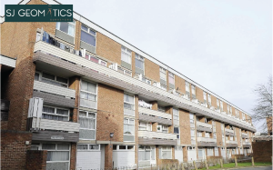
Hillington Square, King’s Lynn
20-02-2026
Welcome back to FindTheNeedle.
Not registered? Get listed — most visitors don't have an account yet.
List your company on FindTheNeedle.