Sign In

RTK GPS Land Survey Suffolk
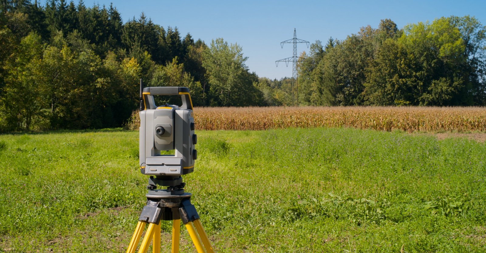
SJ Geomatics delivers precise GPS Land Surveys across the UK using Leica RTK technology. With ±15mm accuracy, real-time data, and OS integration, we offer fast, scalable solutions for boundary mapping, topographical surveys, flood risk assessments, and more-ideal for planning, construction, and environmental monitoring across large or complex sites.
SJ Geomatics delivers precise GPS Land Surveys across the UK using Leica RTK technology. With ±15mm accuracy, real-time data, and OS integration, we offer fast, scalable solutions for boundary mapping, topographical surveys, flood risk assessments, and more-ideal for planning, construction, and environmental monitoring across large or complex sites.
For more information on RTK GPS Land Survey Suffolk talk to SJ Geomatics
Welcome back to FindTheNeedle.
Not registered? Get listed — most visitors don't have an account yet.
List your company on FindTheNeedle.