Sign In

Terrain Mapping For Construction UK
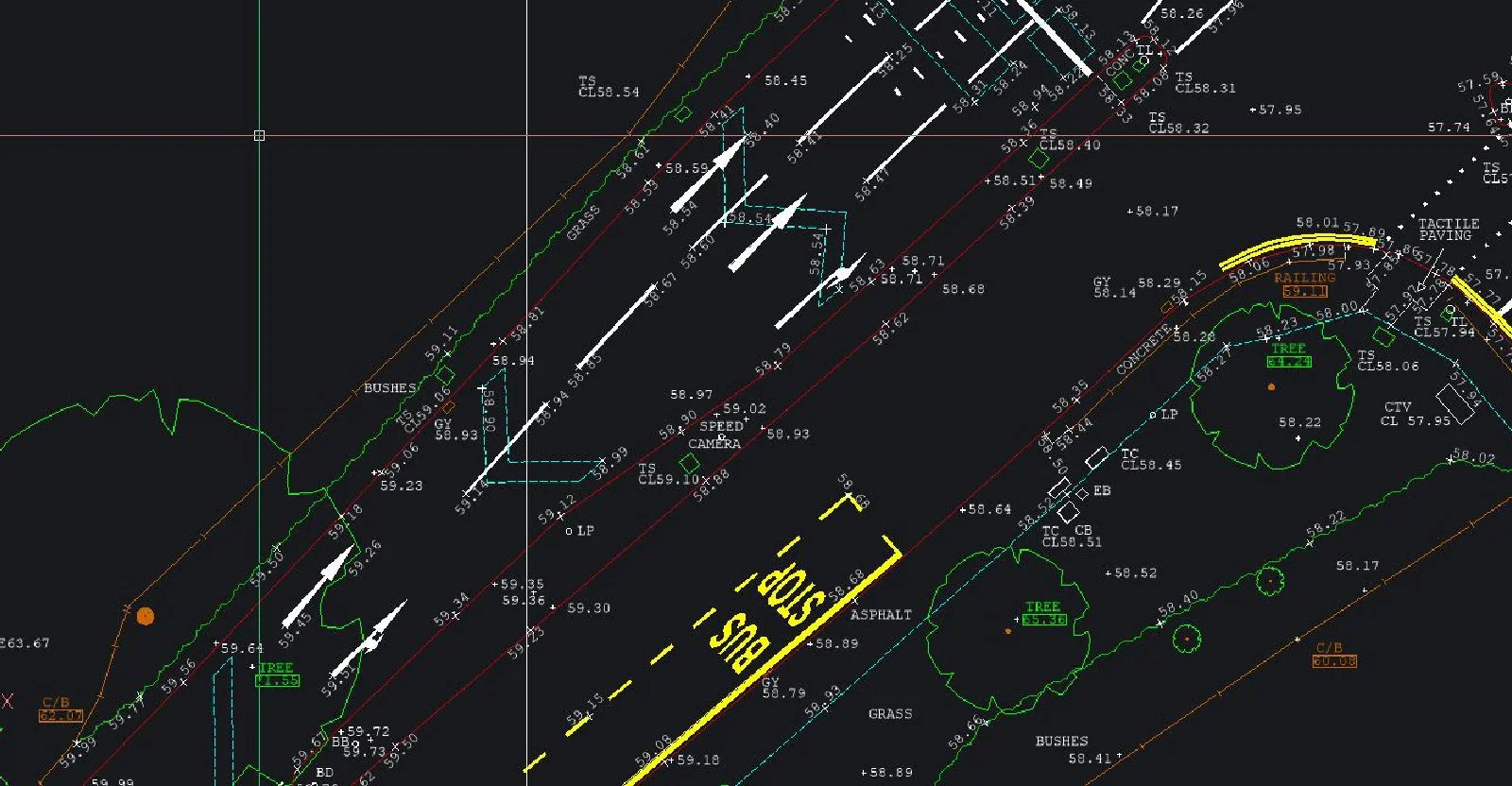
We provide highly accurate and affordable topographical land surveys using Leica� instruments and precision technology. Ideal for planning, construction, and development, our surveys deliver detailed 2D and 3D drawings tied to national grid coordinates. Expect professional service, technical precision, and reliable data from our expert land surveyors.
We provide highly accurate and affordable topographical land surveys using Leica� instruments and precision technology. Ideal for planning, construction, and development, our surveys deliver detailed 2D and 3D drawings tied to national grid coordinates. Expect professional service, technical precision, and reliable data from our expert land surveyors.
For more information on Terrain Mapping For Construction UK talk to SJ Geomatics
Welcome back to FindTheNeedle.
Not registered? Get listed — most visitors don't have an account yet.
List your company on FindTheNeedle.