Sign In

Laser Scanning Fly-Through Visuals UK
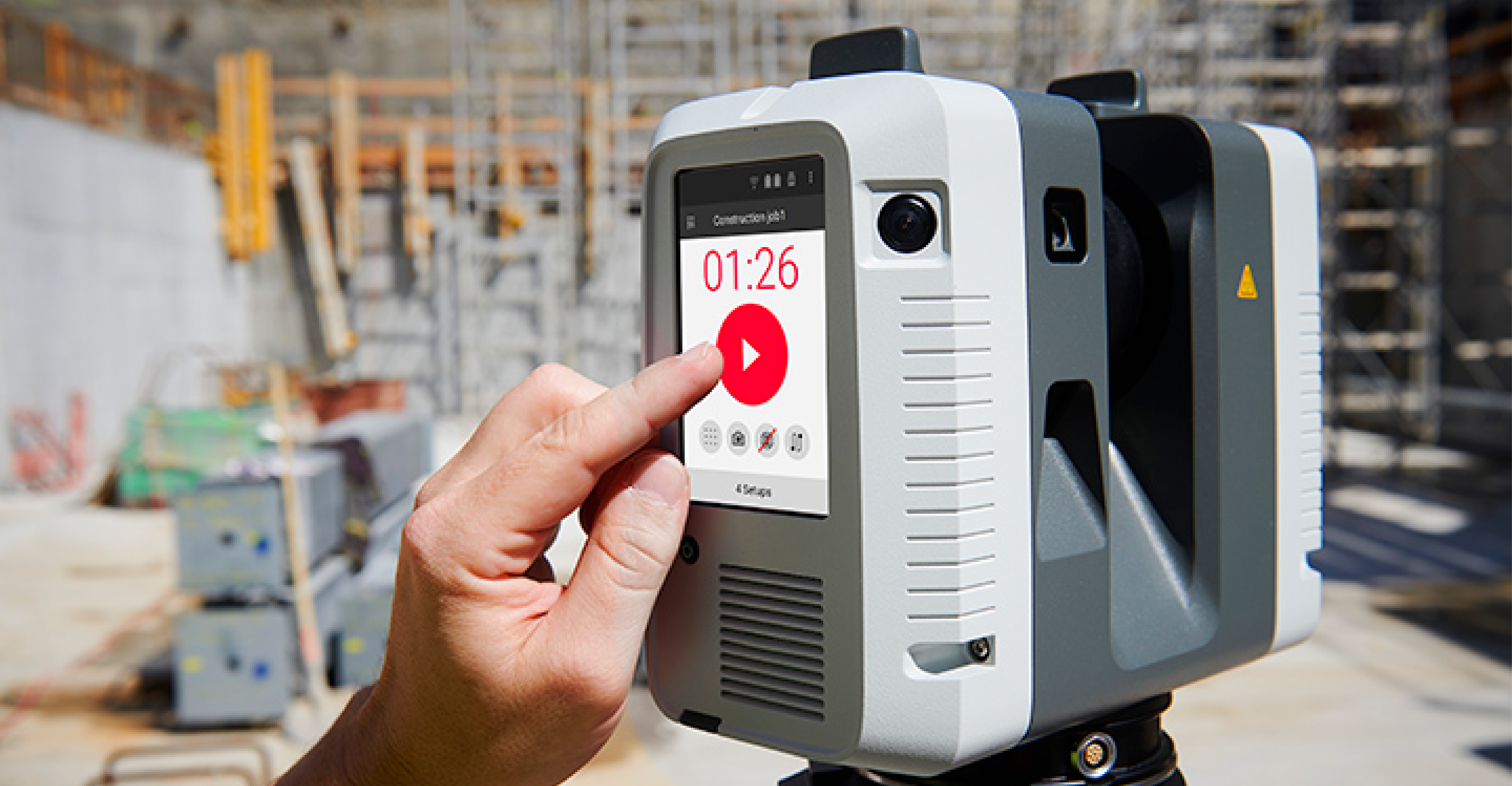
SJ Geomatics provides high-definition 3D laser scanning surveys across the UK. Our cutting-edge technology delivers precise point cloud data for CAD models, 2D drawings, and panoramic fly-throughs. Ideal for construction, engineering, and architectural projects-saving time and money while ensuring accuracy for clash detection, planning, and coordination.
SJ Geomatics provides high-definition 3D laser scanning surveys across the UK. Our cutting-edge technology delivers precise point cloud data for CAD models, 2D drawings, and panoramic fly-throughs. Ideal for construction, engineering, and architectural projects-saving time and money while ensuring accuracy for clash detection, planning, and coordination.
For more information on Laser Scanning Fly-Through Visuals UK talk to SJ Geomatics
Welcome back to FindTheNeedle.
Not registered? Get listed — most visitors don't have an account yet.
List your company on FindTheNeedle.