Sign In

Cost-Effective GPS Land Survey East Anglia
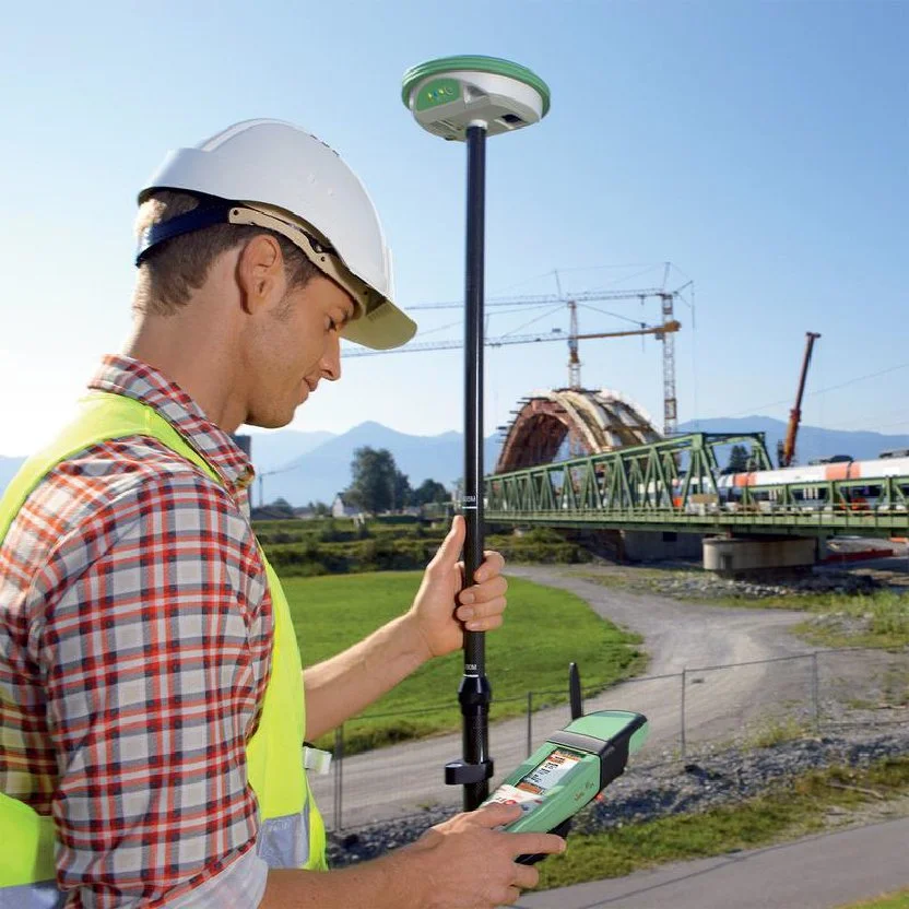
SJ Geomatics delivers precise GPS Land Surveys across the UK using Leica RTK technology. With ±15mm accuracy, real-time data, and OS integration, we offer fast, scalable solutions for boundary mapping, topographical surveys, flood risk assessments, and more-ideal for planning, construction, and environmental monitoring across large or complex sites.
SJ Geomatics delivers precise GPS Land Surveys across the UK using Leica RTK technology. With ±15mm accuracy, real-time data, and OS integration, we offer fast, scalable solutions for boundary mapping, topographical surveys, flood risk assessments, and more-ideal for planning, construction, and environmental monitoring across large or complex sites.
For more information on Cost-Effective GPS Land Survey East Anglia talk to SJ Geomatics
Welcome back to FindTheNeedle.
Not registered? Get listed — most visitors don't have an account yet.
List your company on FindTheNeedle.