Sign In

Line-of-Sight Link Impact Assessments
Product Code: LOS, Microwave and Radio link verification
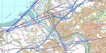
Microwave and other wireless line-of-sight (LOS) radio links can be adversely affected by physical obstructions on and near to their transmission path such as; tower cranes, wind turbines, tall buildings, trees and topographical features. The feasibility and likelihood of the operational success of a LOS link during the wider area radio network's planning stage is often undertaken using GIS and mapping software.
Once a LOS link has been planned and transmit / receive locations have been sourced, a clear (and working) line-of-sight verification is required. Normally this is undertaken with rigger teams, HID torches and binoculars (or radio transmitters and receivers), cherry pickers; and the overall success is dependent upon many factors including; twin site access, reliable staff, accessible locations, timely presence of key holders etc. Such involvement of so many workers and third parties naturally increases the costs, time and H&S paperwork for any LOS and associated verification.
Working in collaboration with a local fully insured and licenced (commercial use BNUC-S pilot's licence) RPAS (remotely piloted aircraft) operator, we've developed a twin UAV / elevated mast mounted HD CCTV camera system which can verify (via visible HID lamps and IR lasers) a clear line-of-sight path up to 10 miles between transmit and receive locations. The system is quickly deployable and a LOS survey can be undertaken with 30 minutes from both teams arriving at the transmit and receive ends. LOS verification of altitudes of 10 - 125 metres above ground level (AGL) at both transmit and receive ends can be achieved
For more information on Line-of-Sight Link Impact Assessments talk to GTech Surveys Limited
Enquire Now
More products
List your company on FindTheNeedle.