 Add My Company
Sign In

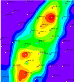
The new RockWare GIS Link allows you to generate RockWorks cross-sections, profiles, fence diagrams, 2D borehole strip-logs, contour maps (ground surface and structural elevations) and isopach maps using the ESRI ArcMap software (contained in ArcView, ArcEditor and ArcInfo) and RockWorks.
A simple toolbar installed into ArcMap lets you access and use the power of the RockWorks engine to produce high quality drawings within ArcMap.
For more information on Rockware GIS Link 2 talk to GeoMEM Ltd
Enquire Now
List your company on FindTheNeedle.
