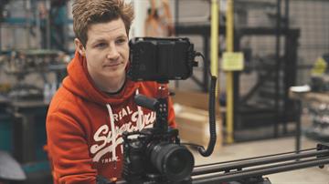
About Us
We are certified with a CAA PfCO (Permission for Commercial Operations), and we have a good understanding of UK air regulations, flight safety, flight planning as well as flight skills.
Drone pilots remotely operate drones for aerial surveying, video production and aerial photography. Some of our work involves aerial photography for property agents, aerial surveying and inspecting infrastructure, such as bridges and tall buildings, and mapping land use for farming or archaeological work.
We provide a full pre-site assessment before we proceed, which we complete using a variety of ordinance survey maps, Google maps and UAV flight tools to get a better understanding of the local area of your post-code, assessing any risks and hazards which we need to be aware of. Once we can confirm a safe flight can be conducted, we can both agree on a time and day for the flight operation.