Sign In


Topographic 3D Laser Scanning For Land Surveying Projects
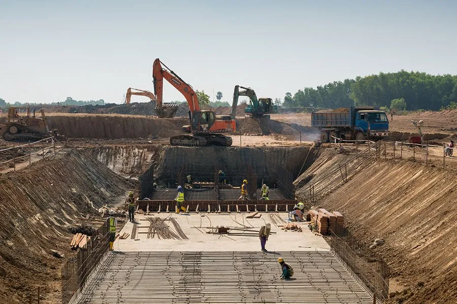
Professional 3D laser scanning services provide accurate, detailed as-built data capture for architecture, construction, engineering, and industrial projects. We deliver high-resolution point clouds and onsite surveys tailored to renovation, BIM, facility planning, and infrastructure workflows, helping you achieve precise measurements and digital models with fast turnaround and expert support.
Professional 3D laser scanning services provide accurate, detailed as-built data capture for architecture, construction, engineering, and industrial projects. We deliver high-resolution point clouds and onsite surveys tailored to renovation, BIM, facility planning, and infrastructure workflows, helping you achieve precise measurements and digital models with fast turnaround and expert support.
For more information on Topographic 3D Laser Scanning For Land Surveying Projects talk to Surface Scan
Welcome back to FindTheNeedle.
Not registered? Get listed — most visitors don't have an account yet.
List your company on FindTheNeedle.