 Add My Company
Sign In

3D Land Surveying Software
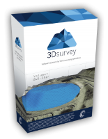
3Dsurvey is a software solution for land surveying data processing. Take a photo with any standard digital camera, import images into 3Dsurvey and create your own orthophoto maps, digital surface models and calculate volumes quicker and more easily.
Please contact us for more information on our 3D Land Surveying Software
For more information on 3D Land Surveying Software talk to A1 Survey Ltd
Enquire Now
List your company on FindTheNeedle.

